Subsequent Flights1. IMG_3410post ... 21. IMG_6635post 22. IMG_6637post 23. IMG_6640post 24. NorthwestTexas 25. NorthwestTe... 26. IMG_6643post 27. IMG_6645post ... 77. KDTO-KSRR-KDTORandom Images
DSC_0010Date: 08/31/2007 Views: 7403 
dscn2049Date: 12/31/1969 Views: 5767 
Mid panel insert 10.Date: 11/17/2010 Views: 4097 Newest Image
EAA SITEDate: 08/23/2023 Views: 198569 |
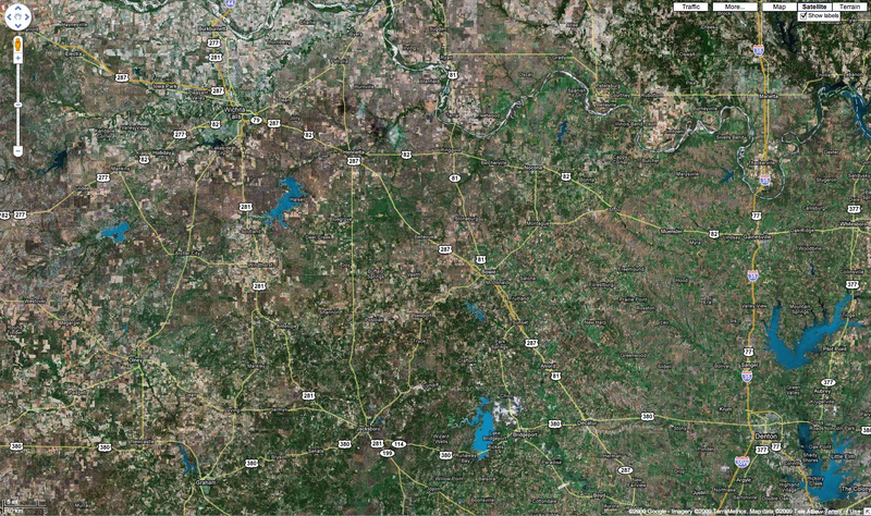
Photo Properties
|